
Remnants of Tropical Storm Rachel are forecast to bring a significant weather change to Utah this weekend, shifting conditions dramatically from current sunshine and temperatures in the 80s. The incoming weather event carries the potential for heavy rain and strong winds across the state. The National Weather Service (NWS) is actively tracking the system, which is currently off the coast of Mexico and California, and refers to its evolving projected path as a “cone of uncertainty.”
The NWS meteorologist Hayden Mahan detailed the potential impacts, explaining that there is “potential for that storm track to change.” This shift is anticipated to bring “a lot of rain and potential for some wind,” as well as “potentially severe weather in terms of thunderstorms.” This forecast highlights the need for residents and local agencies to prepare for a distinct change from the typical late-summer conditions.
Local emergency management teams throughout Utah are staying in close communication with NWS forecasters. These teams are taking proactive measures to be prepared for the possible effects of the storm's remnants. Mahan and the NWS team maintain constant contact with these emergency management groups, with a particular focus on coordination with authorities in Salt Lake County, to ensure a unified and ready response.
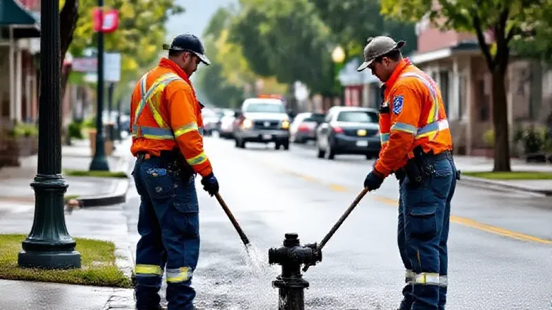
Division Chief Bob Silverthorne of the Salt Lake City Fire Department underscored his department’s readiness strategy. Silverthorne stated that they “try to do over preparation” to avoid being “behind the eight ball” when an event occurs. This approach ensures that resources and personnel are positioned and ready to respond to a variety of potential incidents.
Crews under Silverthorne's command will be paying close attention to specific areas identified as vulnerable. This includes burn scars from recent wildfires, which are particularly susceptible to flash flooding and debris flows during heavy rainfall, as well as floodplains across the region. Silverthorne affirmed the department's comprehensive capacity, noting, “We’re an all-hazards Fire Department.” He further explained their constant readiness: “we are 24/7/365, so we are constantly prepared.” This commitment means the department is equipped to handle a broad spectrum of emergencies that the incoming weather system might trigger.
Mahan also elaborated on how significant weather events like the one anticipated for this weekend allow meteorologists to leverage the latest technological advancements in storm tracking. He emphasized that the primary mission of the NWS is “to protect life and property.” Mahan further explained that “the more we can know” about what is coming, “the more we can help people and communities prepare for it.” This continuous effort in forecasting, tracking, and communicating aims to minimize risks and enhance safety for Utah residents as the remnants of Tropical Storm Rachel draw nearer.