
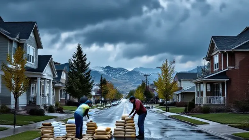
Officials with the National Weather Service have issued a warning regarding potential flood risks across Utah, citing heavy rainfall expected from Saturday through Wednesday. The forecast indicates that the remnants of Tropical Storm Rachel, combined with an incoming low-pressure system, could produce excessive rainfall throughout the state. Residents, commuters, and those planning outdoor activities should monitor conditions closely.
KUTV's chief meteorologist, Lindsay Storrs, explained that Tropical Storm Rachel is anticipated to make landfall near Tijuana before progressing toward Utah. She noted that the most significant excessive rainfall is likely to occur on Monday, coinciding with the low-pressure system's arrival. This combination of weather systems is a primary concern for local communities as streams and rivers are expected to swell.
Storrs cautioned that Utah's rivers and streams are projected to run high and fast. She also highlighted the particular vulnerability of burn scar areas, which will be watched closely. Furthermore, she stated that flash flooding in slot canyons and dry washes is considered very likely. Beyond these natural and previously impacted areas, NWS officials have also indicated that urban communities could experience flooding, particularly in poor drainage areas, retention basins, and locations with steep terrain.
The expected rainfall amounts are substantial for the region. Storrs detailed that Utah could see one to three inches of rain over the five-day period. To contextualize this, she noted that Utah typically receives around 15.5 inches of rain annually. This means some parts of the state could receive between 10% and 20% of their yearly total rainfall in less than a week. Such an intense volume of precipitation over a short duration significantly elevates the risk of widespread flooding.
As of now, specific regions and cities most at risk of flooding remain unclear, as the exact trajectory of Tropical Depression Rachel and its interaction with a cold front will determine the heaviest rainfall. However, NWS officials anticipate that southern Utah and high terrain areas are likely to receive the most rain. For residents planning outdoor activities this weekend, NWS officials have also advised them to "strongly consider alternate plans."
This upcoming weather event follows a period of significant flood challenges across Utah in late summer and early fall, largely exacerbated by a devastating wildfire season that left numerous vulnerable burn scar areas, especially across Southern Utah. Beaver and Piute Counties experienced several floods in July and August, particularly near the Cottonwood Fire burn scar. These incidents prompted an emergency declaration from Gov. Spencer Cox, addressing the dual challenges of massive wildfires and destructive floods in the region.
Further south, Hurricane City also contended with severe flash flooding during that period, with reports and videos showing submerged vehicles and neighborhoods inundated with mud. Salt Lake County was similarly impacted by heavy August rains, where Sandy notably experienced what was described as a "hundred-year storm," indicating a statistical 1% chance of such an event occurring in any given year. More recently, a neighborhood in Salem, located in Utah County, was flooded after six consecutive hours of rain, with videos documenting children swimming and even canoeing in the floodwaters.
In anticipation of the coming storm, multiple cities, including Hurricane and Sandy, are actively offering free sandbags to their residents. Concerned individuals are encouraged to contact their respective city offices for information on available resources and local preparedness efforts. Local officials continue to emphasize safety and preparedness as the state braces for potentially heavy and widespread rainfall.